


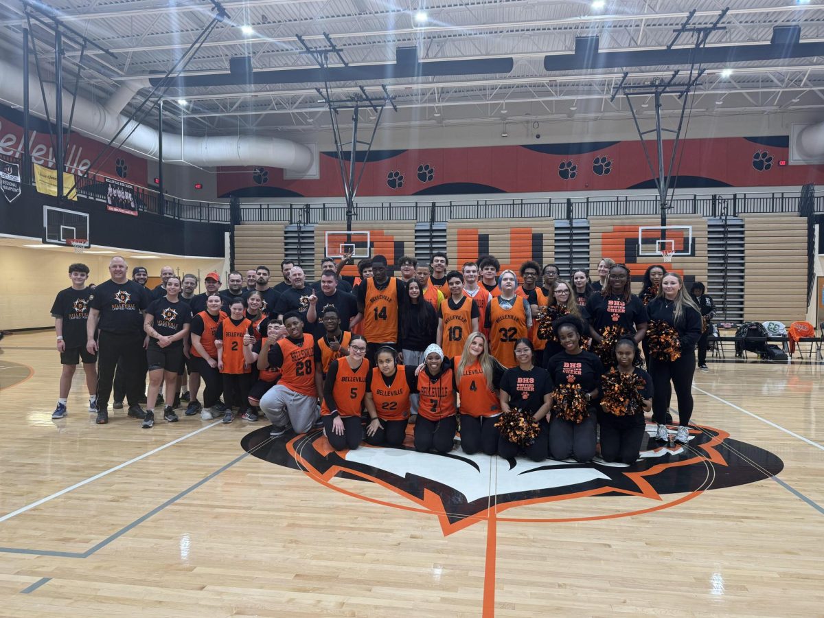


Belleville High School is known for many programs, Belleville New Tech, Navy Reserve Officers Training Corps (NJROTC), William D Ford Career & Technical Center, Teacher Cadet Program, Belleville New Tech, and more: however, there are many programs BHS has that are underrated and need more attention.
What is the GIS program?
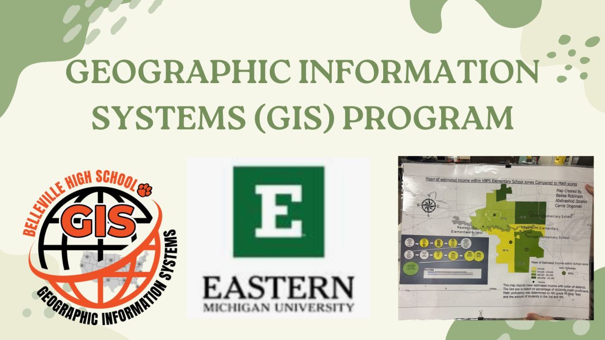
The Geographic Information Systems (GIS) is a program offered at Belleville High School is a field that involves analyzing data geospatially to identify unique patterns using ArcGIS Pro and develop data analysis skills.
The program partners with Eastern Michigan University where they have done projects for example, figuring out different bus routes for one of the elementary schools, crime maps (tracking where certain crimes are happening). They have plotted over 5,000 assets in the city in Belleville.
Eastern Michigan University’s Geographical Information Science program is designed to offer students and mid-career professionals to develop careers in the geospatial sciences. The program’s strengths combine the theoretical aspects of GIS with practical applications across a broad range of areas. At the undergraduate and graduate levels, students are exposed to GIS theory, database development, programming, spatial analysis and statistics and remote sensing. Application areas include urban planning, environmental management, crime analysis, business GIS, public health, etc. To learn more about this program visit this link: Eastern Michigan University GIS Program
At BHS, this program offers a dual enrollment for Sophomores, Juniors, and Seniors. More details and where to sign up feel free to contact [email protected] or visit: 2026/2027 GIS Recruitment Slides
Why is the GIS program important for high school students?
Aaron Watkins hosts the Geographical Information Systems Program here at BHS. Watkins highlighted the program’s importance. “It gives you the exposure in taking college classes. We do authentic projects by working with the city of Belleville, University of Michigan golf course, Michigan State Police, and more groups that we work with. You learn how to work with and indicative data, knowing where it’s located and endless amounts of careers. You get a chance to earn college credits and chance to get a paid internship.”
Careers offered from the GIS program
Civil engineering, Military Surveillance, Criminal Justice, Business Management, Real Estate, Environmental Engineering, Google Maps & Navigation, Data Analysis, etc. Careers in the GIS field can make over 90k a year according to the GIS Certification Institute.
What are the benefits of the GIS program?
College level classes, earn up to 9 college credits (without leaving BHS), 100 level credits
(6) 200 level credits, transferrable to other colleges, E.M.U credits, paid internships, and a 107 part-commercial drone pilot license test.
What can students learn from the GIS program?
Students can get ready for college, understand how maps are made and used, format data, and data structures. You will have experience building applications on online websites.